 | 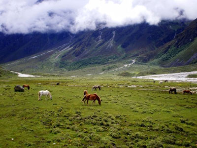 | 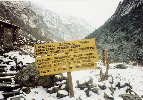 |
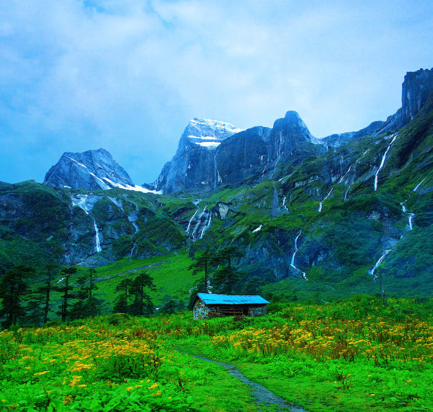
The Langtang National Park is the fourth national park in Nepal and was established in 1976 as the first Himalayan national park. The protected area exceeds an attitudinal range of 6,450 m (21,160 ft) and covers an area of 1,710 sq km (660 sq mi) in the Nuwakot, Rasuwa and Sindhulpalchok districts of the central Himalayan region encompassing 26 Village Development Committees. Beauty of Barun valley is captivating.
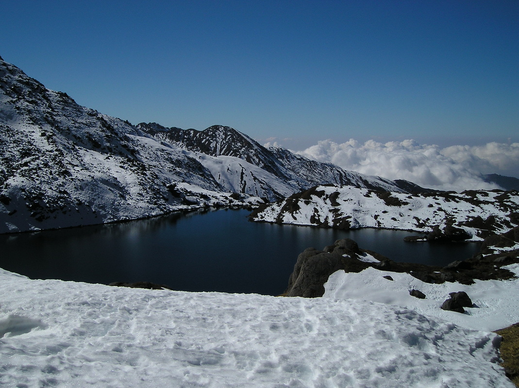
It is linked with the Qomolangma National Nature Preserve in Tibet. The high altitude sacred lake of Gosainkunda falls within the park. The Gosainkunda lake (4,300 m (14,100 ft))and the Dorje Lakpa range (6,988 m (22,927 ft)) bisect the park from east–west to south–east. The summit of Langtang Lirung (7,245 m (23,770 ft)) is the highest point in the park.
The northern and eastern border of the national park coincide with the international border to Tibet. The western boundary follows the rivers Bhote Kosi and Trisuli. The southern border lies 32 km (20 mi) north of the Kathmandu Valley.
This protected area represents both Indo-Malayan and Palearctic ecozones.
